

Population Exposure to Pesticides: Data and Geographic Approaches
Santé publique France has published a summary of the discussions held during a seminar organized on June 28, 2022, with leading French scientific teams working in the field of pesticide exposure using geographic approaches.
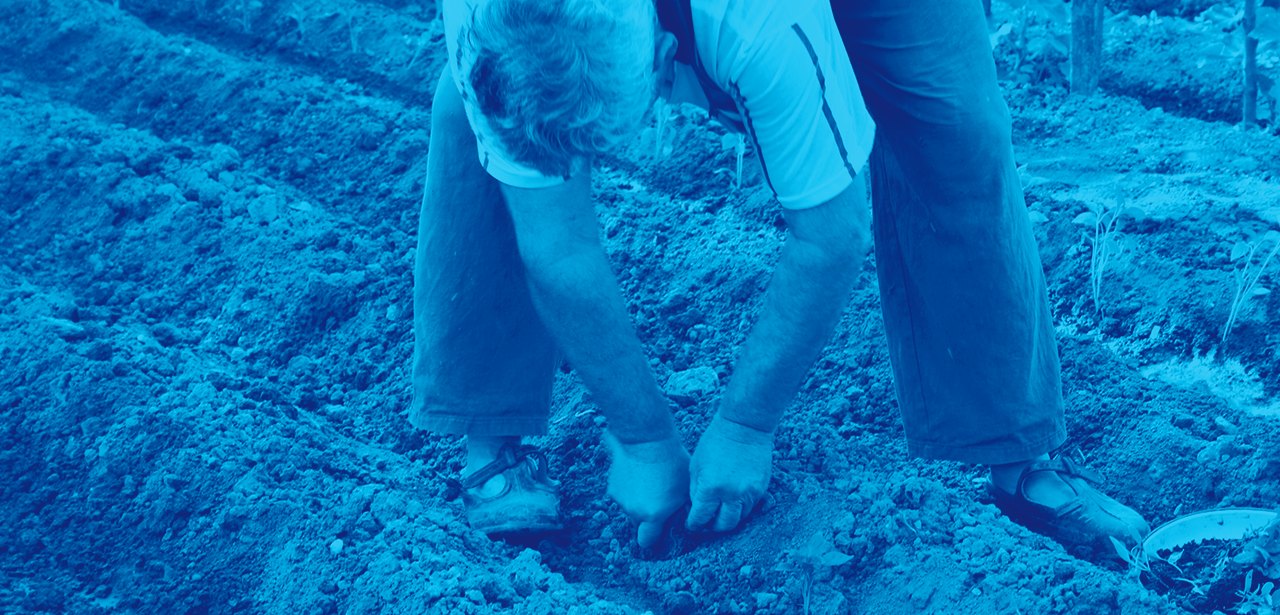
Addressing environmental exposure to pesticides is a major public health challenge. In light of public expectations and in response to the government’s Ecophyto plans to reduce the use of plant protection products, scientific teams are employing a wide range of complex tools and methods to study this issue.
Santé publique France has developed extensive expertise in estimating pesticide exposure through several projects focused on monitoring exposure (the national biomonitoring program) and diseases potentially linked to the general or occupational environment (cancers, Parkinson’s disease, type 1 diabetes, etc.). Common avenues for research on the issue of pesticides and the link between the environment and public health have also been identified in recent years with a large number of the agency’s partners, raising new challenges regarding the geographic data used.
It is in this context that Santé publique France organized, on June 28, 2022, a scientific seminar on the geographic data and approaches used to estimate environmental and occupational exposure of populations to pesticides in France (metropolitan France and overseas territories). This event provided an opportunity to engage with a broad range of multidisciplinary stakeholders representing agencies, public institutions, and research organizations.
Mapping and Prospects for Pesticide Studies Using a Spatial Approach
The summary of this event, published today, was developed to provide everyone with an overview of the teams involved and the studies presented, as well as a summary of current discussions and scientific perspectives (methodological and technological) on geographic approaches in studies linking pesticide exposure and health.
This summary, which captures current methodological advances, more broadly outlines the issues and challenges involved in using geographic information to characterize the link between the environment and public health.
Download

rapport/synthèse
6 March 2023
Estimating Pesticide Exposure: Data and Geographic Approaches. Summary of the Seminar Held on June 28, 2022
A schematic and non-exhaustive overview of the mapping of pesticide and health studies in mainland France and the overseas territories

Focus on Key Trends in Recent Years
Two types of approaches are currently used to estimate pesticide exposure: detailed mapping of crops using land-use data and aerial imagery, and modeling of chemical use (measurements, sales data, etc.). To this end, methodological considerations in recent years have focused on:
Characterizing relevant data: land use (mapping of cultivated plots), characterization of agricultural crops, substances used on these crops, etc.;
Characterizing exposure in relation to the challenge of mapping crops at a fine scale and the difficulty of linking this to agricultural practices that evolve over time and for which data are limited;
The scaling up from the local to the national level regarding the implementation of methods for detailed exposure characterization and the use of data such as imagery (aerial, satellite), topography, and meteorology. Indeed, the use of existing spatialized data at the national scale remains technically challenging, particularly due to the massive volume of fine-scale land-use data.
Thus, the development of geographic indicators of pesticide exposure, particularly using geographic information systems, represents a major methodological and technical challenge.
Mapping Agricultural Crops in France: What Is the Purpose?
To meet the needs of epidemiological studies on the links between environmental exposure to pesticides and health, Santé publique France has developed a method for creating a multi-source map of agricultural crops in metropolitan France, the general principles of which are being published today.
This mapping allows for a detailed and consistent description of the presence of agricultural crops at every point in metropolitan France using various indicators (for example, the area of a given crop within a radius around geocoded subjects, the density of cultivated area in a zone of interest, and the distance to cultivated plots can be calculated). This serves as a useful proxy for exposure to plant protection products used in agriculture for periods for which spatially detailed sales data on plant protection products are not available.
Three national data sources (the graphic parcel register, land cover data from CORINE Land Cover, and vineyard and orchard data from the vegetation theme of the IGN’s BD Topo® database) were combined in a geographic information system (GIS). These datasets complement one another, and the refinement methods implemented aim to provide the most detailed description possible.
This report, which details the mapping methodology, will facilitate the production of such maps for periods of interest, tailored to the specific needs of interested teams, by utilizing different years of data from the various sources.
Pesticides
thematic dossier
Pesticides are widely used in France, primarily in agriculture, and the population is heavily exposed to them. Their effects on the health of the general population are still poorly understood.